
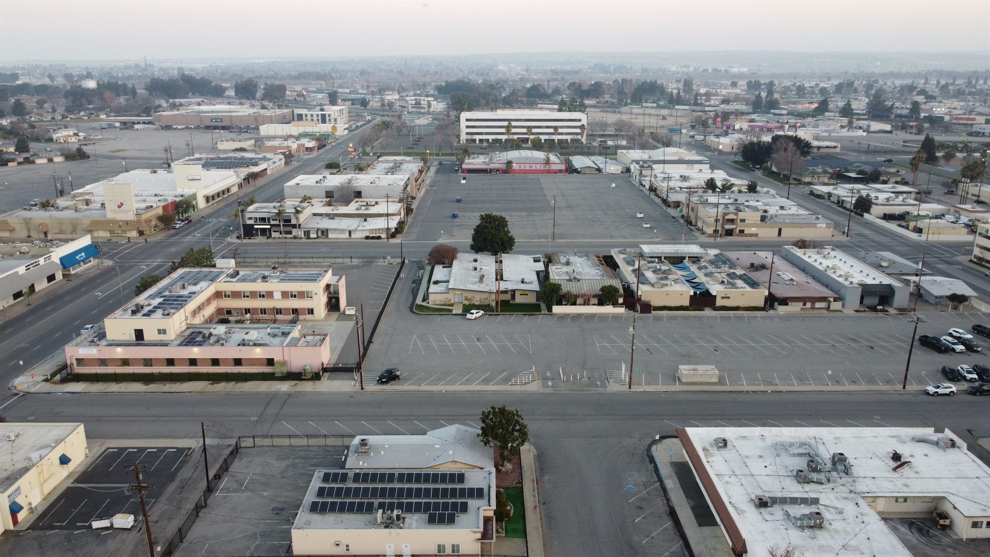
McFarland wants to bring a fallow parcel and a shuttered winery on its south edge into the city as M-3 heavy industrial land, with no buildings proposed yet.
McFarland Annexation 22 is a City of McFarland proposal to annex about 326 acres (APN 060-250-02) south of Whisler Road, between State Route 99 and Driver Road in Kern County, California, and prezone it M-3 heavy industrial. Applicant Max Bacerra has proposed no buildings. The Planning Commission’s Sept. 10, 2026 agenda carried the item, and City Council and Kern LAFCo votes are still ahead.
Key takeaways
- McFarland Annexation 22 covers about 326 acres on APN 060-250-02, bounded by Whisler Road on the north, State Route 99 on the west and Driver Road on the east.
- The site would be prezoned M-3 General Manufacturing/Heavy Industrial, a district the city says allows heavy manufacturing, chemical processing and large-scale warehousing.
- The city’s Initial Study and Negative Declaration (SCH 2026081010) was open for public comment from Aug. 15 to Sept. 30, 2026.
- The Planning Commission’s Sept. 10, 2026 agenda included a public hearing on the item. The city has posted no outcome and no City Council hearing date.
- About 20% of the parcel is a former winery. Records point to the Franzia-McFarland winery at 31795 Whisler Road, which The Wine Group told state regulators in September 2024 had been sold and would not remain operational.
Project at a glance
| Item | Detail |
|---|---|
| Project | General Plan Amendment, Prezoning and Annexation No. 22 (South McFarland) |
| Location | South of Whisler Road, between State Route 99 (west) and Driver Road (east), McFarland, Kern County; T26S R26E Section 30 |
| APN | 060-250-02 |
| Applicant and owner | Applicant: Max Bacerra, Bakersfield. The Initial Study lists Lynn Chao as owner. |
| Jurisdiction | City of McFarland (lead agency); Kern Local Agency Formation Commission, or LAFCo (annexation) |
| Case numbers | Annexation No. 22; SCH 2026081010; Planning Commission Res. 2026-13PC and 2026-14PC |
| Size | About 326 gross acres, including future internal road rights-of-way |
| Use | Prezone to M-3 General Manufacturing/Heavy Industrial; no buildings proposed yet |
| Current condition | About 80% fallow, disked land; about 20% a former winery idle about 10 years (per the state filing) |
| Status | Negative Declaration comment period closed Sept. 30; Planning Commission hearing was on the Sept. 10 agenda, outcome not posted |
| Next step | City Council hearing on the Negative Declaration, prezoning and start of annexation (date not posted), then Kern LAFCo |
What is McFarland Annexation 22?
It is a request to bring one large parcel on McFarland’s south edge into city limits and prezone it for heavy industry. Prezoning means the city assigns zoning before annexation so the land carries it when it joins the city. The City of McFarland filed an Initial Study and Negative Declaration with the State Clearinghouse on Aug. 27, 2026. A Negative Declaration is the city’s finding that the project will not have significant environmental effects. This one covers a general plan amendment, the prezone and the annexation of about 326 acres.
The proposed zoning is M-3, General Manufacturing/Heavy Industrial. The Initial Study says the mix of uses and building sizes “are to be determined in the future.” This is a land entitlement, not a building project. No tenant, site plan or square footage has been filed. Our guide to industrial land entitlements and CEQA in Kern County explains the steps ahead.
The city found no significant effects beyond those studied in the Program EIR for the McFarland 2040 General Plan, which the city adopted Aug. 26, 2021. The Initial Study builds on that EIR rather than starting a new one. De Lapide & Associates prepared it.
What does M-3 zoning allow?
M-3 allows some of the heaviest uses in industrial zoning. According to the state filing, the district permits “heavy manufacturing, chemical processing, large-scale warehousing, and similar activities that involve intensive industrial operations.” The city’s list also includes stockyards, dairies and feed yards, refuse disposal areas and auto wrecking yards.
For buyers and users, that list is about as broad as industrial zoning gets. It can fit outdoor storage, processing and other heavy uses that business-park zoning often excludes. For comparison with other local codes, see our overview of industrial zoning in Bakersfield and Kern County.
What happened at the Sept. 10 Planning Commission hearing?
The city has not posted an outcome. The McFarland Planning Commission’s Sept. 10, 2026 agenda included a public hearing on Annexation 22. Resolution 2026-13PC recommends that the City Council amend the zoning map for APN 060-250-02, which is the prezoning. Resolution 2026-14PC asks the Council to start annexation proceedings with Kern LAFCo. No minutes have been posted.
Where is the Annexation 22 site?
The parcel sits just south of McFarland, a city in Kern County. The Initial Study describes its edges as Whisler Road on the north, State Route 99 on the west and Driver Road on the east, with the southwest corner touching Phillips Road. The state record places it in Township 26 South, Range 26 East, Section 30.
The state filing lists the Union Pacific and San Joaquin Valley railroads nearby, along with McFarland High School and Browning Road School. The Initial Study describes residential and commercial uses to the northwest, industrial land to the north and south, and agriculture to the east.
The land is not under a Williamson Act contract, and the Initial Study says it is not mapped as prime farmland, unique farmland or farmland of statewide importance. That removes a common obstacle for farmland-to-industrial conversions in Kern County. The Initial Study also says the area adjoins, but sits wholly outside, both McFarland’s 2022 city limits and its sphere of influence, the boundary LAFCo sets for a city’s probable future growth.
What was the former winery on the site?
About 20% of the parcel is a former winery, but the site’s own filings are thin on it. The state filing says 80% of the parcel is vacant, disked fallow land. The other 20% is “a former winery facility that was in operation for approximately 30 years, but has not been in operation for the last 10 years.” The Initial Study itself calls the land fallow and does not mention the winery.
Public records point to the Franzia-McFarland winery at 31795 Whisler Road. A 2015 Central Valley Water Board order describes The Wine Group’s Golden State Vintners, doing business as Franzia-McFarland Winery, on about 320 acres in the same section, bordered by Highway 99 on the west. That order lists a different APN (060-251-02), so the match rests on location. It says the plant crushed, fermented, stored and blended wine grapes and distilled high-proof alcohol.
The winery’s paper trail runs back at least to a 1991 state filing under the Bisceglia Brothers name, and in 2018 the State Water Board logged a nitrate treatment system for its water supply. The records disagree on when operations ended. The state filing says idle about 10 years. The water board’s rescission order (R5-2025-0023) says The Wine Group told regulators in September 2024 “that the Winery had been sold and would not remain operational.” A December 2024 report documented destruction of the winery’s groundwater monitoring wells and decommissioning of its wastewater sump, and the board then rescinded the 2015 discharge permit.
On June 16, 2026, the San Joaquin Valley Air Pollution Control District issued emission reduction credits for the “shutdown of the winery,” including 4,448 pounds per year of volatile organic compound credits. The credits are restricted to use within the district unless it gives written authorization. The notice does not say whether the credits stay with the land.
How does Annexation 22 fit McFarland’s other annexations?
It is the industrial piece of three recent filings. Annexation 20, about 175 acres near Hanawalt and Garzoli avenues, was prezoned R-1 residential and went through environmental review in 2025. Annexation 21, filed in June 2026 by applicant Benjamin Marin, would prezone 124.26 acres north of Elmo Highway to C-2 commercial.
The Initial Study notes that industrial land already sits north and south of the Annexation 22 site. It adds that the parcel’s past farm use was temporary while the city grew toward land planned for urban development in the 2040 General Plan.
Who is behind Annexation 22?
The State Clearinghouse lists Max Bacerra of Bakersfield as the applicant, and the Initial Study names a different party as owner: “APN 060-250-02 (with Lynn Chao listed as owner).” The water board record says the winery was sold by September 2024 but names no buyer. The city documents say nothing more about Chao or an end user.
Bacerra is president and founder of Pacificus IV Company, which Positively Filipino describes as a policy planning and land use consulting firm in the San Joaquin Valley. The firm has worked as planner and developer on land owned by others. At Golden City Plaza in Rosamond, which broke ground in January 2026, Pacificus IV is the developer and planner for owner Sunrise Global Development. Bacerra has also filed a 22-unit infill project on O Street in Bakersfield and is working on a 400-acre site at White Lane and Cottonwood Road in southeast Bakersfield. His role on Annexation 22 appears to be entitlement and planning.
What does Annexation 22 mean for the Kern County industrial market?
It adds raw, heavy-industrial land with Highway 99 frontage at the north end of Kern’s Highway 99 corridor. That matters more over the next several years than today, because current data shows plenty of existing space.
A national brokerage’s Q2 2026 Bakersfield industrial report put overall availability at 10.1% across 67.4 million square feet, up 20 basis points from a year earlier. Average asking rent was $0.71 per square foot per month, triple net. Its Outlying Kern County submarket, which likely includes McFarland though the report lists no boundaries, totals 36.7 million square feet with 11.6% availability and $0.61 asking rent. It also held the market’s only building under construction, at 510,385 square feet.
A national brokerage’s South Central Valley industrial report for Q2 2026, which tracks buildings of 50,000 square feet and larger, put Bakersfield at 11.3% vacancy and 13.1% availability, with 1,499,945 square feet of net absorption in the quarter. A regional brokerage’s Bakersfield market report measured vacancy at 9.55% in Q2 2026, down from 10.90% in Q1, with an average sale price of $123 per square foot and a 7.23% cap rate. The reports track different building sets, so their numbers do not line up exactly. For help comparing them, see how to read an industrial market report.
A national industrial market report for Q2 2026, published July 21, 2026, put U.S. vacancy at 6.8%, down 60 basis points, and said leasing of buildings 500,000 square feet and larger rose 58.3% year over year. Large users are the ones most likely to need a site this size.
What demand could the site draw along Highway 99?
The South Central Valley report said food and beverage and logistics tenants make up the largest share of requirements, at 40% of tenants, and expects the market to stay stable to improving through the rest of 2026. The quarter’s largest regional lease was Amazon’s 1,270,750 square feet in Visalia, in neighboring Tulare County.
A site like Annexation 22 fits that profile: food processing, packing, cold chain, agricultural inputs and freeway-served distribution. Our look at cold storage and ag-industrial facilities in Kern County covers that demand. The regional brokerage report noted that “logistics facilities face higher vacancy and pricing pressure while specialized and flex properties maintain stronger occupancy and rental rates.” That favors purpose-built and heavier users over speculative warehouses.
What land is competing for the same users?
McFarland is not the only North Kern location adding industrial capacity. The Malibu Vineyards Industrial Parkway proposes 8.9 million square feet in 24 warehouse and distribution buildings on 739 acres near Highways 99 and 65 in unincorporated Kern. Its recirculated draft EIR was filed in September 2025. The Bakersfield industrial report counted 13.1 million square feet of proposed industrial projects marketwide.
For owners of existing North Kern industrial buildings, Annexation 22 is not near-term competition. Raw land needs infrastructure, site plans and project-level review before anything can be leased. For land investors and owner-users, it signals that McFarland wants industrial growth on its south side.
What concerns and open questions surround the proposal?
Local coverage has reported no opposition to Annexation 22. A few issues are likely to come up as the proposal moves forward.
- Heavy uses near homes and schools. M-3 allows intensive uses, and the state filing lists McFarland High School and Browning Road School nearby.
- Air quality. The Initial Study notes the San Joaquin Valley is not in attainment with the federal PM2.5 standard. No project has been proposed, so no project emissions have been estimated.
- Groundwater. The 2015 water board order said nitrate in groundwater upgradient of the winery already exceeded the 10 mg/L drinking water standard.
- The winery footprint. The rescission order covers the wells and sump, not the land-application fields.
- Sphere of influence. The site lies outside McFarland’s sphere of influence, a point Kern LAFCo will need to address. Whether the city will seek an amendment was not stated.
What happens next for McFarland Annexation 22?
The next step is a City Council hearing on the Negative Declaration, the prezoning ordinance and a resolution to start proceedings with Kern LAFCo. The public comment period ran Aug. 15 to Sept. 30, 2026, and state agency review ended Sept. 25. The city’s notice of intent, dated Aug. 5, said “LAFCO and City Council will act on the proposed annexation in future meetings.” No Council date has been posted.
After the Council acts, Kern LAFCo would hold its own hearing on the annexation. Only after annexation would a developer bring forward site plans, infrastructure and project-specific environmental review for actual buildings.
Frequently asked questions
What is McFarland Annexation 22?
It is a City of McFarland proposal to annex about 326 acres on its south edge and prezone the land M-3 General Manufacturing/Heavy Industrial, along with a general plan amendment. The city filed its environmental review, SCH 2026081010, with the State Clearinghouse on Aug. 27, 2026. No buildings, tenants or square footage have been proposed.
Where is the McFarland Annexation 22 site?
The site is one parcel, APN 060-250-02, just south of McFarland in Kern County. Whisler Road bounds it on the north, State Route 99 on the west and Driver Road on the east, and its southwest corner touches Phillips Road. It includes a former winery.
What can be built under M-3 zoning in McFarland?
M-3 allows heavy manufacturing, chemical processing, large-scale warehousing and similar intensive operations, per the city’s state filing. The list also includes stockyards, dairies, feed yards, refuse disposal areas and auto wrecking yards. Any specific building would still need its own city approvals.
Has McFarland approved Annexation 22?
Not yet, as far as public records show. The Planning Commission’s Sept. 10, 2026 agenda included the hearing, but no minutes have been posted. The City Council must still act, and Kern LAFCo must approve the annexation itself.
Who is the applicant for McFarland Annexation 22?
The State Clearinghouse record lists Max Bacerra of Bakersfield, president of the land use planning firm Pacificus IV Company. The city’s Initial Study lists Lynn Chao as the parcel’s owner. Bacerra’s firm has worked on projects in Rosamond and Bakersfield.
What was the former winery on the McFarland Annexation 22 site?
About 20% of the parcel is a former winery. Records point to the Franzia-McFarland winery at 31795 Whisler Road, run by The Wine Group as Golden State Vintners. The company told water regulators in September 2024 that it had been sold and would not keep operating, though the state filing says it has been idle about 10 years.
How does Annexation 22 affect the Kern County industrial market?
In the near term it adds land, not buildings. A Q2 2026 brokerage report put Bakersfield-area industrial availability at 10.1%, and 11.6% in its Outlying Kern County submarket. Over time, 326 acres of M-3 land on Highway 99 gives food processors, heavy industrial users and distributors another North Kern option once infrastructure and site plans are in place.
If you own land or buildings along the Highway 99 corridor in North Kern, or need heavy industrial space, we can talk through how Annexation 22 could affect your options. Call Kern CRE at 855-KERN-CRE (855-537-6273) or contact us. Get Kern County CRE news monthly: subscribe to the Kern CRE report.
Sources
- Initial Study and Negative Declaration for Amendment to General Plan and Annexation 22, SCH 2026081010, State Clearinghouse (CEQAnet), received Aug. 27, 2026.
- Initial Study and Negative Declaration for Amendment to General Plan and Annexation #22, City of McFarland, prepared by De Lapide & Associates, 2026.
- Notice of Completion and Environmental Document Transmittal, Annexation #22, City of McFarland, August 2026.
- Notice of Intent: Availability of IS/ND for Amendment to General Plan and Annexation #22, City of McFarland, Aug. 5, 2026.
- Agenda, regular meeting, Item 2: Annexation No. 22, Res. 2026-13PC and 2026-14PC, City of McFarland Planning Commission, Sept. 10, 2026.
- McFarland 2040 General Plan EIR, SCH 2021040288, State Clearinghouse (CEQAnet), 2021.
- City of McFarland 2040 General Plan (Final), City of McFarland, adopted Aug. 26, 2021.
- Order R5-2015-0086, Waste Discharge Requirements for The Wine Group, Inc., Golden State Vintners dba Franzia-McFarland Winery, Central Valley Regional Water Quality Control Board, June 5, 2015.
- Bisceglia Brothers Wine McFarland Winery, Notice of Determination, State Clearinghouse (CEQAnet), Feb. 11, 1991.
- Golden State Vintners (The Wine Group) Franzia-McFarland Nitrate Treatment Plant, Notice of Exemption, State Clearinghouse (CEQAnet), Jan. 11, 2018.
- Order R5-2025-0023, rescinding Order R5-2015-0086, Central Valley Regional Water Quality Control Board, 2025.
- Notice of Final Action, Emission Reduction Credits, Golden State Vintners/Franzia-McFarland (Facility S-882, Project S-1244365), San Joaquin Valley Air Pollution Control District, June 16, 2026.
- Fil-Ams Among the Remarkable and Famous, Part 59, Positively Filipino, undated.
- Ground is broken for new Rosamond shopping center, Antelope Valley Press, Jan. 17, 2026.
- Developer’s vision for southeast Bakersfield shopping center faces illegal dumping, encampment challenges, 23ABC News (KERO), July 10, 2026.
- SPR 23-60000466 (City of Bakersfield), State Clearinghouse (CEQAnet), Feb. 14, 2025.
- Bakersfield Industrial MarketBeat, Q2 2026, Cushman & Wakefield, Q2 2026.
- South Central Valley Industrial Figures Q2 2026, CBRE, Aug. 3, 2026.
- U.S. Industrial Market Dynamics, Q2 2026, JLL, July 21, 2026.
- Initial Study and Negative Declaration for Amendment to General Plan and Annexation 20, SCH 2025031134, State Clearinghouse (CEQAnet), posted March 25, 2025.
- Initial Study and Negative Declaration for Amendment to General Plan and Annexation 21, SCH 2026060976, State Clearinghouse (CEQAnet), June 22, 2026.
- Bakersfield, CA Industrial Market Report, Q2 2026, Lee & Associates, July 2026.
- Draft Recirculated EIR for Malibu Vineyards Industrial Parkway Project, SCH 2022080056, State Clearinghouse (CEQAnet), Sept. 10, 2025.
About this article
Kern CRE prepared this article with help from AI research and writing tools. An editor reviewed the draft, checked its facts against the sources linked above and edited it for accuracy and clarity. Details come from public records and the sources cited; unless stated, Kern CRE and ASU Commercial were not involved in the transaction or project.