
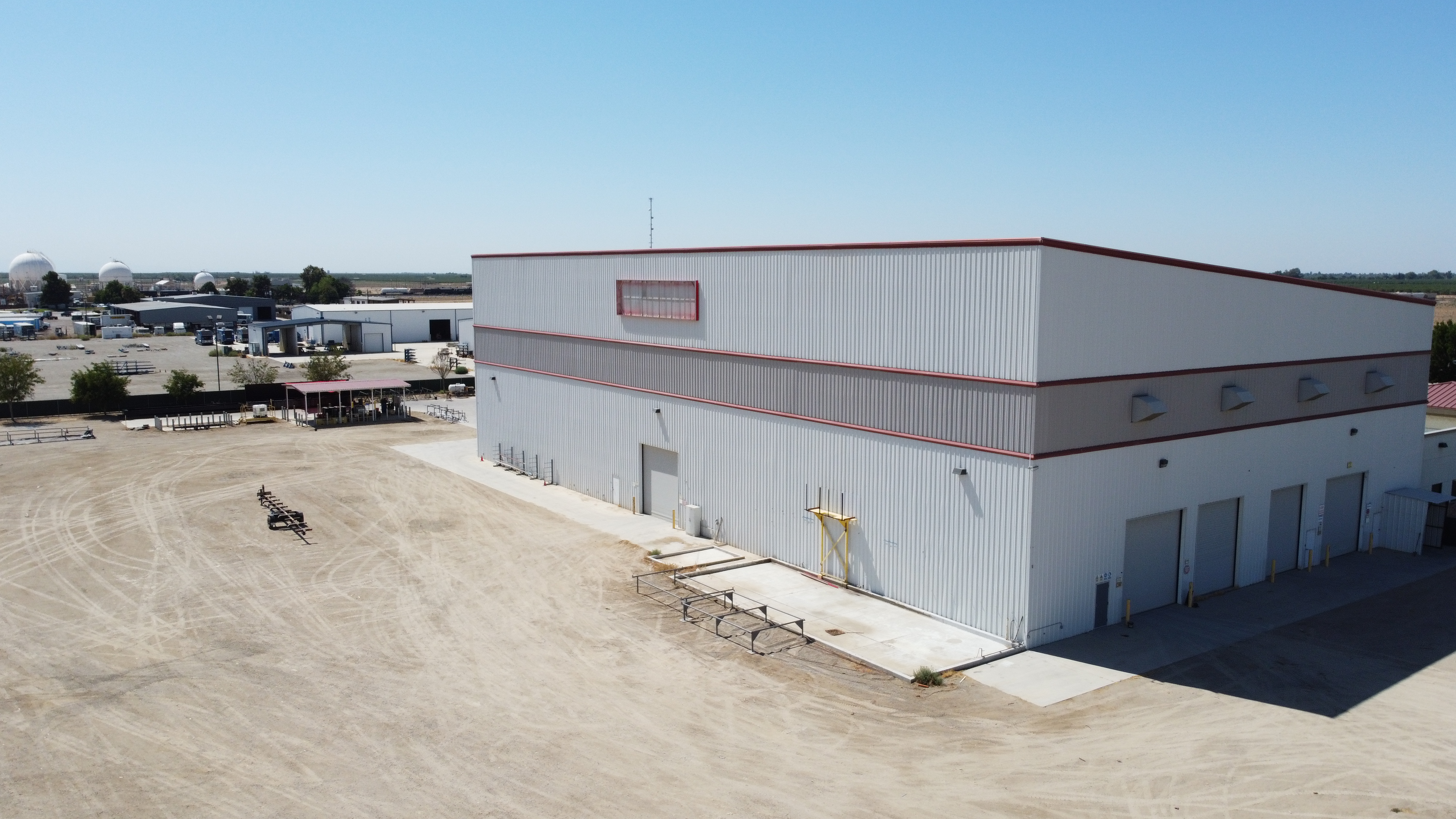
The City Council adopted Ordinance 6-2026 on Aug. 12, 2026. A separate July agreement with a McFarland dairy points to more land-use change ahead.
The McFarland Sherwood Avenue rezoning is Ordinance 6-2026, which moves about 10 acres along Sherwood Avenue, between Browning Road and Blanco Park, from M-2 industrial and C-1 zoning to C-2 commercial. The McFarland City Council in Kern County, California, introduced it July 22, 2026, and adopted it Aug. 12, 2026, on a 5-0 consent vote. The city has not named an applicant or project.
Key takeaways
- Ordinance 6-2026 rezones about 10 acres along Sherwood Avenue, between Browning Road and Blanco Park, from M-2 and C-1 to C-2 commercial. It affects portions of two parcels.
- The council introduced the ordinance at a July 22, 2026 public hearing and adopted it Aug. 12, 2026, on the consent calendar by a 5-0 roll-call vote.
- The ordinance title calls the C-2 zoning consistent with the McFarland General Plan. The city has not named an applicant, buyer or building plan.
- A separate July 22, 2026 special meeting item covered a memorandum of understanding with West Star North Dairy, doing business as Sherwood Ranch, aimed at relocating the dairy within about four years.
- Bakersfield retail vacancy was 5.2% in Q2 2026, with only 8,630 square feet under construction, according to regional brokerage data.
Rezoning at a glance
| Item | Detail |
|---|---|
| Project | Ordinance No. 6-2026, amendment to the McFarland official zoning map |
| Location | Along Sherwood Avenue between Browning Road and Blanco Park (Jim “Blanco” White Park), McFarland, Kern County |
| APNs | Portions of 201-190-04 and 201-190-13 |
| Applicant/owner | Not named in the city’s agenda, packet pages or draft minutes |
| Jurisdiction | City of McFarland |
| Size | Approximately 10 acres |
| Zoning change | M-2 and C-1 to C-2; described as consistent with the McFarland General Plan |
| Use | No project filed. C-2 allows a broad range of commercial, multifamily, entertainment and institutional uses |
| Status | Introduced July 22, 2026; adopted Aug. 12, 2026 (consent calendar, 5-0) |
| Next step | Any development needs its own application and review; none had been posted |
What did McFarland approve on Sherwood Avenue?
McFarland changed its zoning map. Ordinance No. 6-2026 rezones “approximately 10 acres located along Sherwood Avenue between Browning Road and Blanco Park, affecting portions of APNs 201-190-04 and 201-190-13, from M-2 and C-1 to C-2,” according to the council’s July 22, 2026 agenda. The title adds that the change is “consistent with the City of McFarland General Plan.”
The council held the public hearing and introduced the ordinance as item 10 on July 22. Second reading and adoption came on the Aug. 12 consent calendar. The draft Aug. 12 minutes show the consent agenda passing 5-0, with the mayor and all four councilmembers voting yes.
The ordinance covers only portions of the two parcels. The ordinance exhibit, available from the City Clerk, shows where the new C-2 line falls.
What does C-2 zoning allow in McFarland?
C-2 is McFarland’s broad commercial district. The city’s Annexation 21 Initial Study, written for a separate C-2 prezoning on Elmo Highway, lists commercial uses, “multi-family residential at 16 to 24 dwelling units per acre,” recreation, entertainment and tourist facilities, and institutional uses.
In practice, the Sherwood Avenue land could be marketed for retail pads, service commercial, apartments or a mix once someone files a project. Our guide to industrial zoning in Bakersfield and Kern County explains how zoning districts like these work.
Where is the McFarland Sherwood Avenue rezoning site?
The site sits on Sherwood Avenue near Browning Road, next to Jim (Blanco) White Park. Parks for California lists that park at East Sherwood Avenue and Browning.
Sherwood Avenue has its own State Route 99 interchange, Exit 49, per the Caltrans exit list. City records do not describe the land’s current use or any earlier plans for it.
Who owns the land, and what will be built?
The public record does not say. The July 22 agenda, the readable pages of the July 22 council packet and the draft Aug. 12 minutes name no applicant, owner, buyer or intended use, and include no staff report for the item.
No site plan or development application for the land has appeared on a McFarland City Council agenda.
How does the rezoning fit McFarland’s growth?
The Sherwood Avenue rezoning is one of several McFarland land-use moves. Annexation 20, about 175 acres near Hanawalt and Garzoli avenues prezoned R-1 residential, won City Council approval March 14, 2024, according to its state record. Annexation 21 would add 124.26 acres of C-2 land on Elmo Highway next to SR 99. Annexation 22 would prezone about 326 acres at Whisler Road and SR 99 for M-3 heavy industrial use.
Read together, the city is planning heavy industry at its south edge while adding commercial zoning in town and on its north side. Ordinance 6-2026 is the in-town piece: it moves land already inside city limits out of industrial zoning.
Housing is growing too. The state housing department celebrated the 80-unit Sherwood Family Apartments, built by Milestone Housing with more than $16 million in state funding, in September 2024.
What is the West Star North Dairy agreement?
It is a separate item that shared the July 22 date. A special meeting staff report asked the council to adopt Resolution 2026-94, approving a memorandum of understanding (MOU) with West Star North Dairy, doing business as Sherwood Ranch. The MOU lists the dairy at 31740 Taylor Road, McFarland.
The report says the MOU sets up a framework “to address pending disputes, provide for continued operation of the dairy under defined conditions, establish a structured relocation process, and facilitate long-term implementation of the City’s planning objectives.” The draft’s key terms:
- Litigation: the dairy would dismiss pending litigation against the city within 30 days.
- Relocation: the parties would pursue relocation “within approximately four (4) years” of the effective date.
- Land swap: relocation would happen through a “land swap” with the city or, if the dairy buys new property, the current dairy site would be developed within four years after relocation under a development agreement.
- Exclusive negotiation: the dairy would get a 24-month exclusive right to negotiate for city-owned property that the city has not yet identified.
- Operations: odor management, daily watering of dusty areas, Highway 99 screening plans within six months and copies of any regulatory violation notices to the city within 10 business days.
- Cost: the staff report says the agreement “does not directly appropriate City funds.”
What is the Chapter 17.200 ballot measure?
Chapter 17.200 of the McFarland Municipal Code regulates concentrated animal feeding operations, such as dairies. The same staff report includes Resolution 2026-95, which would put a measure on the Nov. 3, 2026 municipal ballot. It would add Section 17.200.120, letting the council “amend, revise, extend, supplement, or repeal any provision of Chapter 17.200” by ordinance after a noticed public hearing.
The MOU says the goal is “to provide flexibility for future implementation of relocation strategies, operational standards, and related provisions.” It also refers to a separate dairy-sponsored ballot initiative. The council’s votes on the MOU and the ballot resolution were not available in the city’s posted records.
Is the dairy agreement tied to the Sherwood Avenue rezoning?
Not in any city record. Both items were on July 22 agendas, and the dairy does business as Sherwood Ranch. But the MOU and staff report never mention Sherwood Avenue, Ordinance 6-2026 or C-2 zoning, and the rezoning item does not mention the dairy. The city-owned land that could be offered in a swap is described only as property “to be identified by the City.” For how cities dispose of public land, see our guide to the California Surplus Land Act.
The dairy item still matters to the local land market. Both paths in the MOU point toward the dairy site being redeveloped after relocation.
What does the rezoning mean for Kern County retail?
New retail supply in the region is thin. A regional brokerage’s Q2 2026 Bakersfield retail report, based on CoStar data, put vacancy at 5.2%, average NNN asking rent at $20.26 per square foot per year and 12-month net absorption at 344,991 square feet. Only 8,630 square feet was under construction in a 37.5-million-square-foot inventory.
A national brokerage’s Q2 2026 U.S. retail report put Bakersfield shopping-center vacancy at 6.5% (preliminary), with average asking rent of $21.86 per square foot, against a 6.0% national rate.
National retailers have been adding North Kern stores. Bakersfield Now reported in January 2026 that new Target stores on Woolomes Avenue in Delano and Gosford Road in Bakersfield would open March 15, and the regional brokerage report credited new Target stores with part of the market’s absorption.
These are Bakersfield-area figures, not McFarland trades. A 10-acre in-town C-2 site could also compete with the 124 acres of highway commercial land proposed in Annexation 21, so tenant demand and freeway visibility will shape what gets built and when.
What happens next for the Sherwood Avenue land?
With adoption on Aug. 12, 2026, the zoning change is complete at the council level. No hearing on a project for the land has been scheduled.
Any development would need its own application. Depending on the proposal, that could include site plan review, a parcel map and environmental review under the California Environmental Quality Act. Our guide to industrial land entitlements and CEQA in Kern County covers the steps. For the dairy, the next public milestones are the Nov. 3, 2026 election, if the Chapter 17.200 measure reached the ballot, and any land swap or property agreement, which would return to the council.
Frequently asked questions
What is the McFarland Sherwood Avenue rezoning?
It is Ordinance 6-2026, a City of McFarland zoning map amendment. It rezones about 10 acres on Sherwood Avenue, between Browning Road and Blanco Park, from M-2 industrial and C-1 to C-2 commercial, and touches portions of APNs 201-190-04 and 201-190-13. The ordinance title says the change fits the city’s General Plan.
When was Ordinance 6-2026 adopted, and what was the vote?
The council introduced it at a July 22, 2026 public hearing. It adopted the ordinance on second reading Aug. 12, 2026, as part of the consent calendar. Draft minutes show a 5-0 roll-call vote.
What does C-2 zoning allow in McFarland?
C-2 is a broad commercial district. A 2026 city environmental document lists commercial uses, multifamily housing at 16 to 24 units per acre, recreation, entertainment, tourist facilities and institutional uses. The mix on the Sherwood Avenue land will depend on what an owner proposes and the city approves.
Who owns the Sherwood Avenue land, and what will be built there?
City agendas, packet pages and draft minutes do not say. No development application has reached a council agenda.
Is the West Star North Dairy agreement connected to the Sherwood Avenue rezoning?
No city record links them. Both items appeared on July 22, 2026 agendas, and the dairy does business as Sherwood Ranch. The MOU never mentions Sherwood Avenue, Ordinance 6-2026 or C-2 zoning, and the swap property remains unidentified.
What would McFarland’s Chapter 17.200 ballot measure do?
Chapter 17.200 governs dairies and similar animal feeding operations. Resolution 2026-95 would ask voters on Nov. 3, 2026 to add Section 17.200.120, so the council could amend or repeal the chapter by ordinance after a public hearing. The city’s posted records do not show the measure’s final ballot status.
Own or lease property in McFarland, or weighing a commercial site along the Highway 99 corridor in North Kern? Call Kern CRE at 855-KERN-CRE (855-537-6273) or contact us. Get Kern County CRE news monthly: subscribe to the Kern CRE report.
Sources
- City Council regular meeting agenda, Item 10: Introduce Ordinance No. 6-2026, City of McFarland, July 22, 2026.
- City Council regular meeting agenda packet, City of McFarland, July 22, 2026.
- City Council regular meeting agenda: second reading and adoption of Ordinance No. 6-2026 (consent), City of McFarland, Aug. 12, 2026.
- City Council agenda packet with draft minutes of the Aug. 12, 2026 meeting, City of McFarland, Aug. 26, 2026.
- Staff report: Resolution 2026-94 (MOU with West Star North Dairy dba Sherwood Ranch) and Resolution 2026-95 (Chapter 17.200 ballot measure), City of McFarland, July 22, 2026.
- Jim (Blanco) White Park (Prop. 84 Statewide Park Program project), Parks for California.
- California Numbered Exit Uniform System, State Route 99 freeway interchanges, Caltrans, undated.
- McFarland Celebrates New Affordable Housing, California Department of Housing and Community Development, Sept. 23, 2024.
- Initial Study and Negative Declaration for General Plan Amendment and Annexation #21, City of McFarland, May 15, 2026.
- Initial Study and Negative Declaration for Amendment to General Plan and Annexation 20, SCH 2025031134, State Clearinghouse (CEQAnet), posted March 25, 2025.
- Q2 2026 Bakersfield, CA Retail Market Overview, Lee & Associates, July 2026.
- United States Retail MarketBeat Q2 2026 (shopping centers), Cushman & Wakefield, July 2026.
- Grand openings set March 15 for new Target stores on Gosford Road and in Delano, Bakersfield Now, Jan. 29, 2026.
About this article
Kern CRE prepared this article with help from AI research and writing tools. An editor reviewed the draft, checked its facts against the sources linked above and edited it for accuracy and clarity. Details come from public records and the sources cited; unless stated, Kern CRE and ASU Commercial were not involved in the transaction or project.